The plan was to grab a trail-head around the corner from the campsite. Hike up Mt Madison chill a bit at the top or at the hut then do Mt. Adams and then cut around Madison on the way back on the Pine Link trail. I had trouble finding it the trail-head as the road was closed and there was not bridge across the river. After looking at the map again we decided to take the Daniel Webster trail out of the Dolly Copp campsite and then loop back to end up at our campsite at Barns Field.


The trail starts off a bit rocky and rooty but not to bad with the elevation change. The air is kinda still and sticky it does not take long for the trail to start going up.

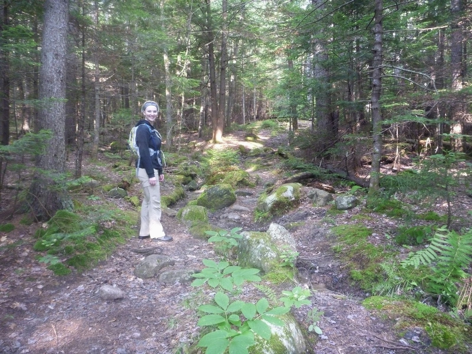
We hit multiple areas with lots of rocks to hop from, the trail is pretty straight without switchbacks I shed the legs off my pants early on. Krystal followed suit a little after. The lack of breeze was making it feel so much hotter but we push on hoping to get moving air at higher elevations.


The rocks and roots turned to scrambles at times. I have a pair of Black Diamond trekking poles that I hike with, I have found it helps keep my legs from getting as tired. On this hike I passed one off to Krystal so she could try using it and see if it helped her as well. It did not take long for her to see the wisdom of them. So I guess she will need to get her own set soon. We were keeping a good pace. I did not want to totally wear out Krystal so we did take some breaks.

Most of the wildlife we saw were your typical squirrels and birds. and some squirrel sign in the form of exploded pine-cones.


I started to really realize how tall this mountain was when we came to this sign


up up up we climb. Krystal has not done many hikes and the last big one she did was Mt. Chocorua which is 3,478 ft and that was the summer before last. I really picked a doozie for the hike. But, she is doing great and feeling great despite the difficult terrain. We have all day to do this and if we only do Madison and not Adams it is ok and it is ok if we don't finish Madison we are out and doing it. which is fun.


It was really cool to see the autoroad from this perspective. The rest of the hike is a hard push up with lots of scrambles and I end up stowing my pole so I can use both hands to climb up the rocks.


We reach the summit and for the first time in the entire hike we are fighting off bugs. The entire summit area as flying ants or something like that buzzing around getting in my mouth and such. It was frustratingly unpleasant I wanted to hang out at the summit for a little bit but was too pestered by the pests so we took our photos and headed down toward the Hut.


 We headed off the summit and down the saddle between Madison and Adams. Looking up at Adams and at how tired Krystal is and how hard the hike has been so far we decide on not doing Adams as we head down I eves drop on, and then pick the brain of a couple other hikers as to which way down will be best. The way planned is not the best way but the other options take us way around. I figure we stick with the Pine Link Trail as planned it is most direct and according to my topo map has no more uphill.
For now, though, we descend toward the Madison Hut. I have never visited one of the Huts before and do not know what to expect. The white roof comes into view with the banks of big propane tanks. It is looking like a lot bigger place than I expected. We pick our was down at a pretty good pace mostly because we both need to pee. Since people stay overnight there I am assuming there is some sort of restroom or outhouse.
We headed off the summit and down the saddle between Madison and Adams. Looking up at Adams and at how tired Krystal is and how hard the hike has been so far we decide on not doing Adams as we head down I eves drop on, and then pick the brain of a couple other hikers as to which way down will be best. The way planned is not the best way but the other options take us way around. I figure we stick with the Pine Link Trail as planned it is most direct and according to my topo map has no more uphill.
For now, though, we descend toward the Madison Hut. I have never visited one of the Huts before and do not know what to expect. The white roof comes into view with the banks of big propane tanks. It is looking like a lot bigger place than I expected. We pick our was down at a pretty good pace mostly because we both need to pee. Since people stay overnight there I am assuming there is some sort of restroom or outhouse.


 On our way down to the hut we could see a bright white rock and a small lake on the saddle plateau area where the hut is. Before we started down we decided to check it out. It is really cool. A big chink of a marble vein sticking out of the ground. shining white in the sun, as you look around the area you can see other chunks of the white stone in the mountain side. The lake is small and shallow, but surrounded with wildflowers and a wonderful view. if we were staying the night I would love to just find a place to sit and chill here for a while.


After checking out the lake we headed to the Pine Link trail. I found the sign pointing its start. It wove off through the bushes and then through a small stream, getting Krystal's boots soaked then I lost it... so we went back and tried a slightly different entrance to the trail and it brought us to the same place I checked my map and compass and pushed through the bushes and spotted a cairn and then another. This is not a well traveled trail. It did not take long to see why. It did not go over the summit it went around it. Which it what I expected, but it was a traverse across a steep boulder field. It is quite exposed and though climbing up the other field was ok on this one Krystal could see the exposure with every step so the fear of heights started to kick in. She pushed on, pushing down the fear and going forward. It seemed to go on forever. But, we pushed through till it opened up again on the flatish alpine tundra
The stress of the traverse had taken a bunch of energy out of Krystal so I was glad it was a steady downhill to the campsite


 But the downhill was not steady in fact as i look closer at the GPS topo map there is some ups and false summits on the trail, I had chosen to skip the Howker Ridge trail so as to avoid just that but it seems they are on this one as well. none of them were too serious but any up was taking effort. and the downs were pretty steep as well at times. We ran into a number of areas where streams ran the length of the trail making it slippery and footing a bit tough

 Then the log walkways to go over the really wet spots and more scrambles in the woods over wet rocks to get down. Krystal's knees were really hurting so we took breaks when we could. But, we had to keep pushing on. I did not want it to get dark on us on the way down. Darkness would make it much harder to navigate this trail.

 Krystal was being a real trooper. though she was not moving fast but she was going and now that the stressful part had passed her humor was back up though defiantly tiered. I was tired as well but still feeling good. The time at the gym has really helped I am glad I have been doing it I got a few knee tinges but not many and my wind is much better. This is giving me more drive to do more at the gym to get stronger so I can do more longer hikes.

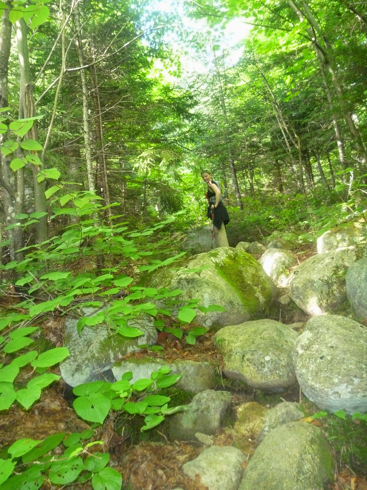
 There were a lot of places on this trail that required a bit of scrambling. I am sure it would be a lot more fun if we weren't so tired. The woods are also really beautiful and lush. There are cool bright blue berries, as well as red ones. old stone stairs.

 our excitement abounds when we hear cars on the road and I spot the trail head sign. we still have a mile or so till the campground but it is on a mostly flat road and maybe we can hitch a ride down said road. But, unfortunately all the cars that go by are going the wrong direction. We make it back to the campsite exhausted and Krystal is quite sore.
 We did around 11ish miles with an altitude gain of 4,469 ft to a max altitude of 5,366 and it took us about 12 hours. As you can see my phone went into battery saving mode and stopped tracking before the end of the hike so I have to estimate the rest. We were at 8.6 miles when it cut out.

We headed off the summit and down the saddle between Madison and Adams. Looking up at Adams and at how tired Krystal is and how hard the hike has been so far we decide on not doing Adams as we head down I eves drop on, and then pick the brain of a couple other hikers as to which way down will be best. The way planned is not the best way but the other options take us way around. I figure we stick with the Pine Link Trail as planned it is most direct and according to my topo map has no more uphill.
When we get there I am quite pleasantly surprised it is really nice. there is an industrial kitchen where they are selling homemade backed goods and hot soup as well as a place to refill your water there is an indoor bathroom (latrine). Plus a little store for shirts and hats and stickers and some key items for hikers. We hung out for a little bit looked at maps had some food and refilled our water. After our rest we headed out.

On our way down to the hut we could see a bright white rock and a small lake on the saddle plateau area where the hut is. Before we started down we decided to check it out. It is really cool. A big chink of a marble vein sticking out of the ground. shining white in the sun, as you look around the area you can see other chunks of the white stone in the mountain side. The lake is small and shallow, but surrounded with wildflowers and a wonderful view. if we were staying the night I would love to just find a place to sit and chill here for a while.After checking out the lake we headed to the Pine Link trail. I found the sign pointing its start. It wove off through the bushes and then through a small stream, getting Krystal's boots soaked then I lost it... so we went back and tried a slightly different entrance to the trail and it brought us to the same place I checked my map and compass and pushed through the bushes and spotted a cairn and then another. This is not a well traveled trail. It did not take long to see why. It did not go over the summit it went around it. Which it what I expected, but it was a traverse across a steep boulder field. It is quite exposed and though climbing up the other field was ok on this one Krystal could see the exposure with every step so the fear of heights started to kick in. She pushed on, pushing down the fear and going forward. It seemed to go on forever. But, we pushed through till it opened up again on the flatish alpine tundra
The stress of the traverse had taken a bunch of energy out of Krystal so I was glad it was a steady downhill to the campsite
No comments:
Post a Comment